I have come to see specifications and constraints as one in the same. They both define the scope of the project, either by defining the objective, or excluding what is not the objective. Time is a constraint and is specified by the remaining duration of the semester, same end result in defining the end goal.
For this project, my Top 10 specifications/Constraints center around manufacturing:
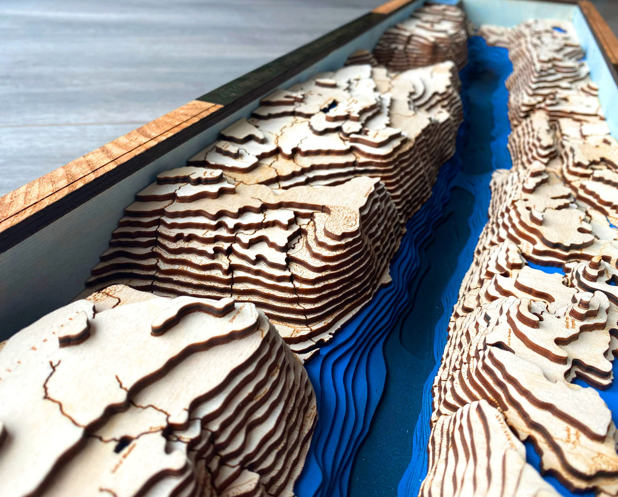
- Project must be manufacturable. Sounds simple, but this defines what is achievable. I plan on using a laser cutter at CU to cut out each individual contour of the lake map. These can be seen as constraints to the project, or the manufacturing method is specifying the end result.
- My external dimensions of the project are constrained by the size of the laser cutter.
- My contour depth, cut from some form of plywood, needs to be cut by the laser cutter, so the layer resolution is constrained. I may only be allowed a certain thickness.
- The layer height cannot be so fine that I cannot complete the project by the end of the semester. Laser cutting super fine increments might lead to a better looking and more accurate map, but it may not allow me to finish.
- The material must balance form, function, and cost. I need a plywood (still researching and shopping) that looks nice, is reasonably cost effective, and can be laser cut and assembled into the final product. I am considering using two types of material. Maybe a cheaper plywood or MDF for the layers, and a nicely grained sheet of plywood for the top layer.
- Map accuracy must be high. Lake Vermilion has 365 islands. I doubt I will include all of them, as some are very small and will be washed out with my resolution. My specification is to have the accuracy be high enough where the map is very detailed, but low enough that I can assemble the project together. This ties in with balancing production time and quality.
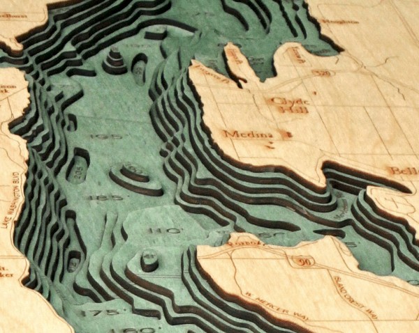
https://www.scrimshawgallery.com/product/bathymetric-map-lake-washington/ - The map should be water only (No land topography). I am lucky enough to be graced with an ArcGIS file from the MN DNR which has very detailed lake contours but does not include land. I have seen maps that include both and dislike them. I plan to only have the water be a focus. This saves manufacturing, and keeps the aesthetic focused on the water (or what beneath it).
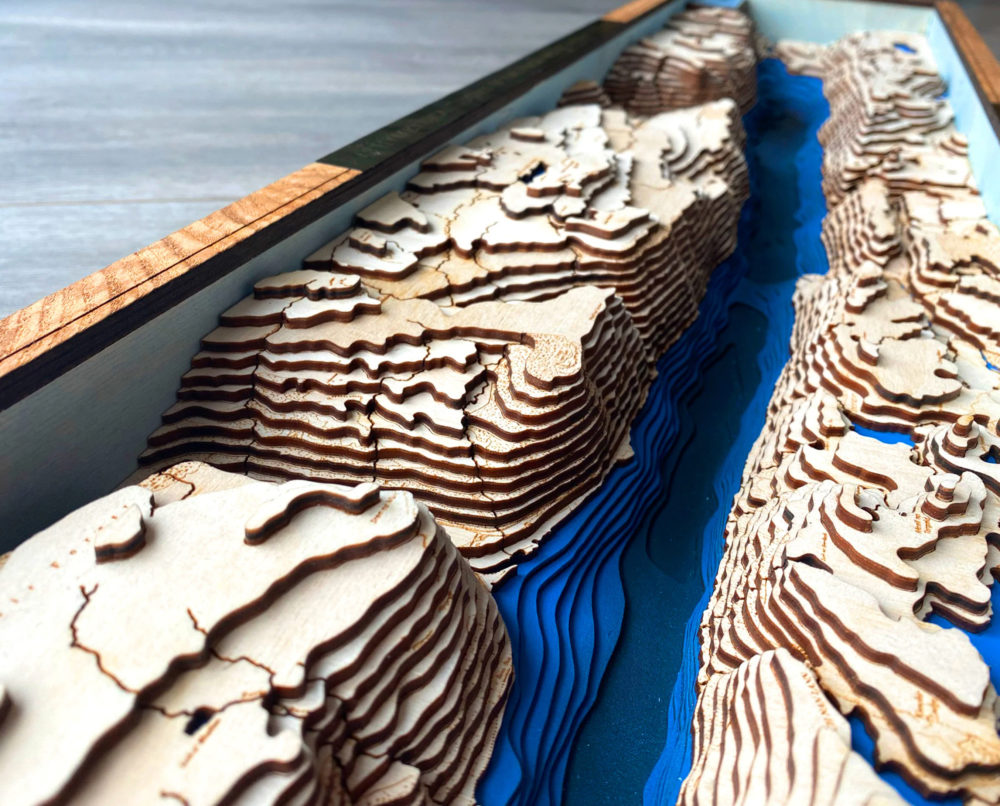
https://www.etsy.com/uk/listing/892396644/loch-ness-3d-map-scotland-lake-100×20-cm - The map shall include, at minimum, road layouts. Although not featuring topography, I would like to include road lay outs, and potentially labels in my top layer. I think this adds a nice touch in orienting the above to below the water line.
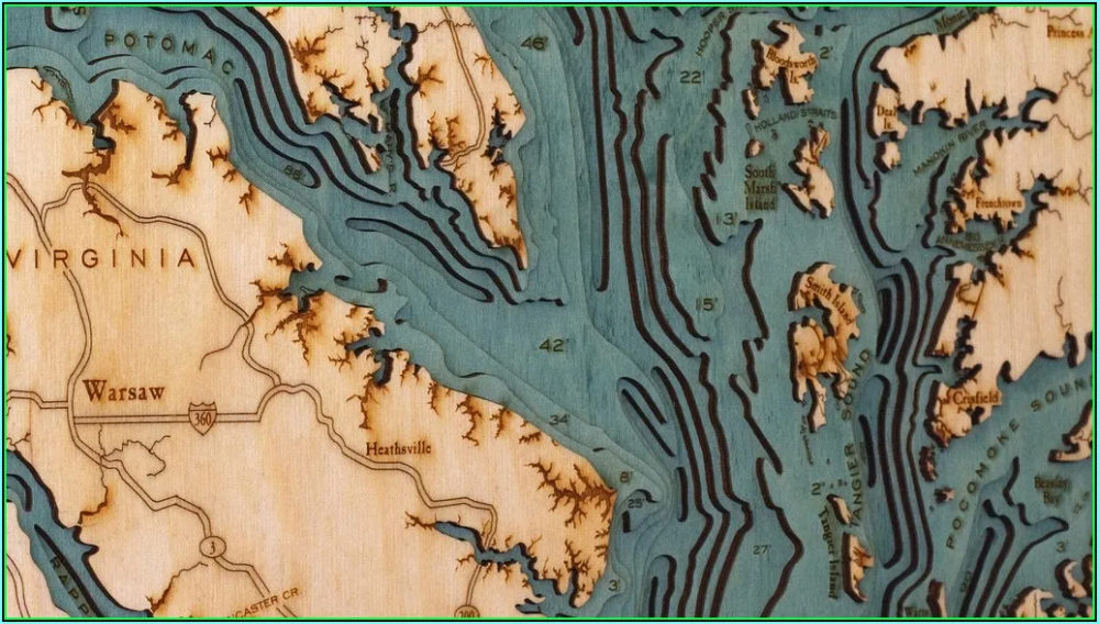
https://www.childforallseasons.com/2020/09/bathymetric-maps-for-sale/ - The project shall by dynamic. This is to fulfill the class requirement. I am still curious on how to approach this, and would prefer the project to be static, but understand why this objective is important.
- My family’s cabin must be marked on the map. There are several ways I might tackle this, but I am constraining myself to include it. A small 3D printed cabin stand in might be fun, or a very small model of the cabin.
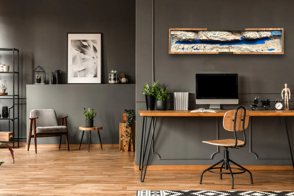
- The project must include the potential to be hung from the wall. Although large and 3D, I want to have the option to hang it from the wall incorporated in the final product, so I have the flexibility in the future.
https://www.etsy.com/uk/listing/892396644/loch-ness-3d-map-scotland-lake-100×20-cm

2 Comments. Leave new
Perhaps as a dynamic element, you could include a movable marker or magnifying glass on a spring arm so you can highlight specific locations on the map.
I’m very excited to see how this turns out. Do you plan on keeping it at your families cabin? It seems like it would be an awesome decoration considering the context.